
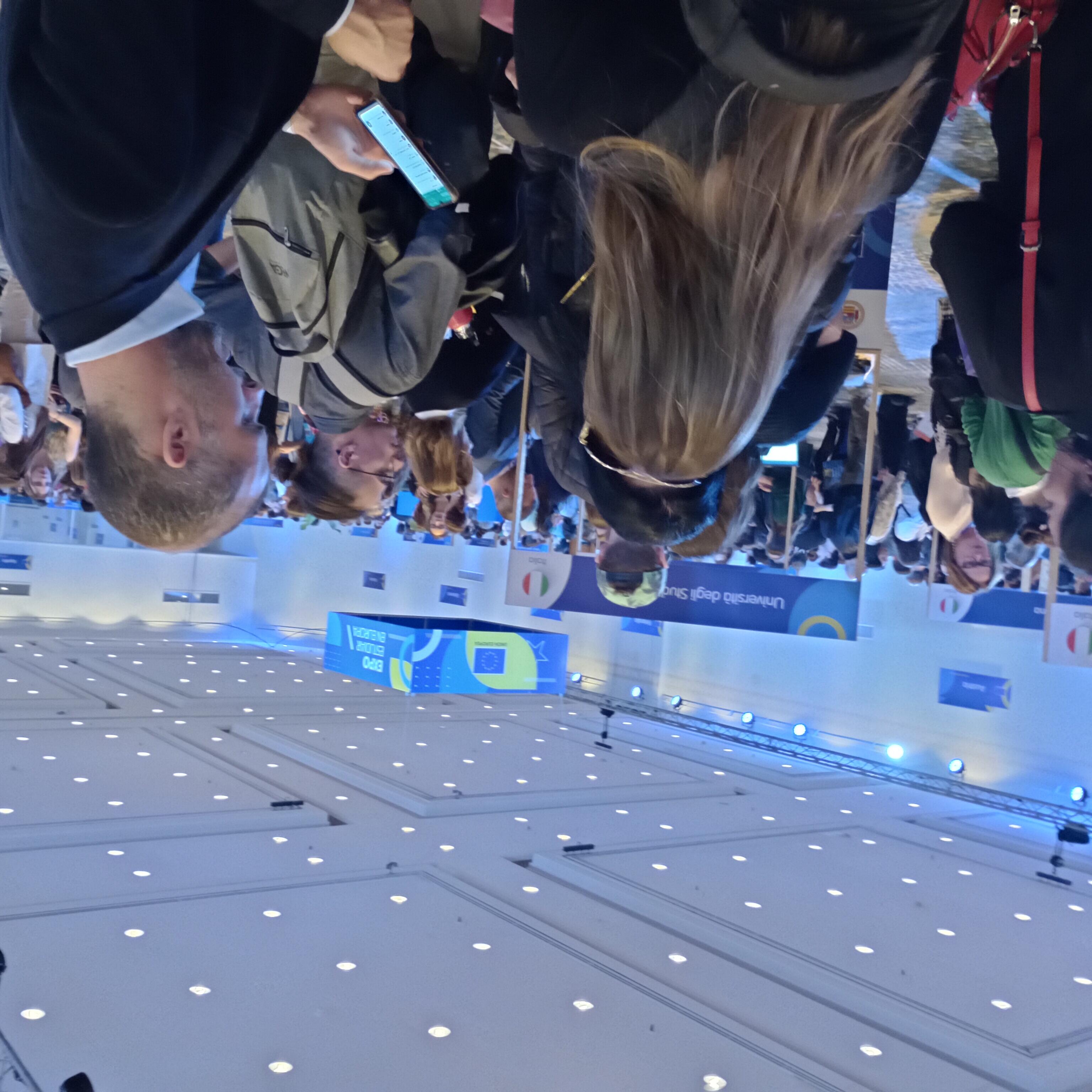
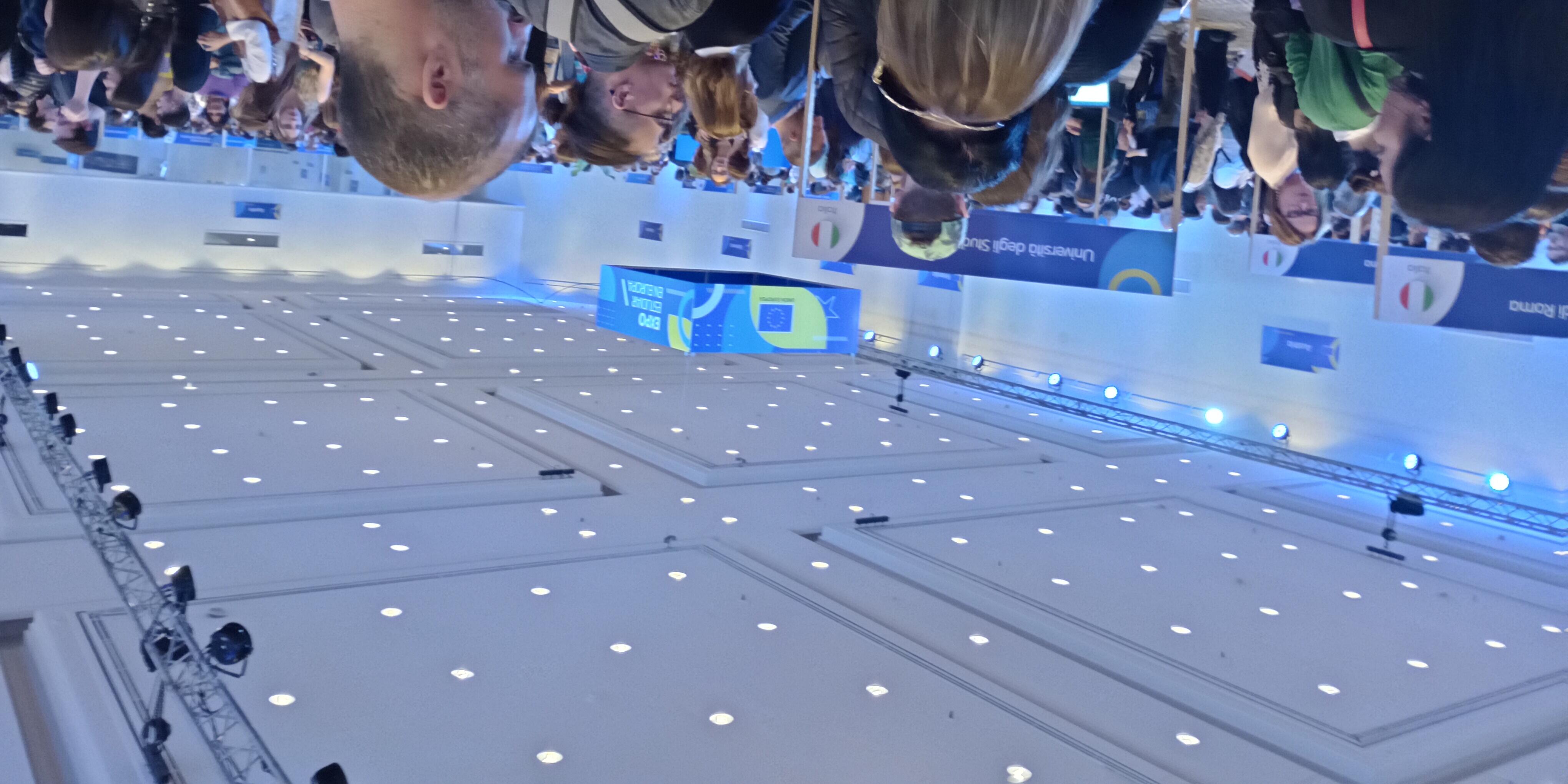
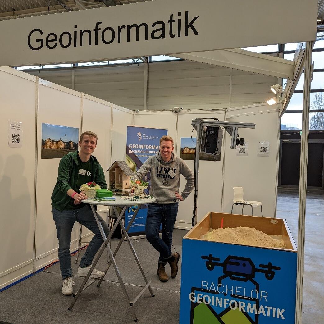
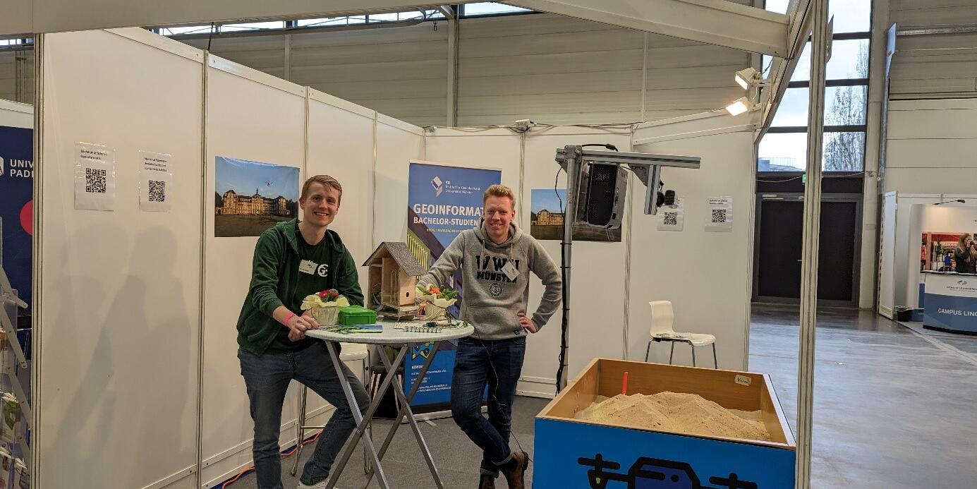
Student Fairs in Brazil and Argentina
PhD scholarship on Architectural Cognition and Computation
Despite decades of research, psychological theories on how people perceive and use space are rarely utilized in building design. Many psychological theories do not generalize beyond laboratory experiments and are incapable of making realistic predictions for practical design problems.
To bridge this gap, we are recruiting a PhD candidate to work on bringing psychological concepts into architectural software in the form of computational functions predicting, for example:
- where occupants might get lost or confused,
- whether a specific room will feel more spacious compared to another one,
- which wayfinding signs will attract more attention.
This is an interdisciplinary problem at the overlap of geoinformatics (spatial computing), spatial cognition (psychology), and architecture. An ideal candidate will have an MA or MSc degree (or be close to finishing) in one of the above disciplines and experience with one or more of the following techniques:
- Empirical user studies
- Virtual Reality
- Mobile eye-tracking
- Spatial computation (e.g., trajectory analysis)
- Space syntax / isovist theory / other formal methods for analysing building layouts
- Algorithmic generation of building layouts
The scholarship is 2000 euro / month for 36 months (with an initial contract for 14 months, subject to extension after a positive evaluation in month 12).
Muenster is a cycling-oriented, green, mid-sized city with vibrant student scene and very high quality of life. Our English-speaking Institute for Geoinformatics at the University of Münster is home to 5 research labs, highly international mix of students and employees, and state-of-the-art infrastructure. Intercontinental Dusseldorf airport is reachable with a direct train in 90 min.
If you're interested, please submit:
- your CV (without picture)
- cover letter,
- max. 2-page-long summary of your interest in this research topic
- degree certificates (Bachelor, Master, or other), including certified transcripts of grades
- proof of English language proficiency (if available)
as a single pdf to ifgi-orga@uni-muenster.de.
If applicable, please highlight concrete examples of your experience with the above-mentioned technique(s).
For questions contact Jun.-Prof. Jakub Krukar: krukar@uni-muenster.de
http://sparc.uni-muenster.de
http://krukar.staff.ifgi.de
Submission deadline is December 3rd.
Starting date is flexible but April 1st the latest.
All documents must be provided in either German or English languages, along with certified translations of all official documents. For the E-Mail submission only digital versions are required. Selected candidates will be invited for an online or in-person interview.
Job Advertisement
45,000 students and 8,000 employees in teaching, research and administration, all working together to shape perspectives for the future – that is the University of Münster (WWU). Embedded in the vibrant atmosphere of Münster with its high standard of living, the University’s diverse research profile and attractive study programmes draw students and researchers throughout Germany and from around the world.
The Institute for Geoinformatics (ifgi) in the Faculty of Geosciences at the University of Münster, Germany, is seeking to fill the position of a
Postdoctoral Research Associate
Wissenschaftliche/r Mitarbeiter/in
(salary level TV-L E 13, 100 %)
for the externally funded project “Erasmus Mundus Master in Geospatial Technologies”. We are offering a fixed-term full-time position to be filled by 1 March 2024 and continuing until 31 August 2027.
The project “Erasmus Mundus Master in Geospatial Technologies” (https://mastergeotech.info) is a joint European master’s programme run by three university partners in Portugal, Spain and Germany. WWU is coordinating the programme. The advertised position will contribute towards the implementation of this programme. The candidate will join the situated computing lab at ifgi, which conducts research in areas such as location-based services, smart cities and human-computer interaction in the context of solving spatial problems. The position also provides opportunities to further your own academic development andoffers great freedom with regard to your own research, teaching and proposal writing.
More information and the complete job discription can be found here
One scholarship for a South- or Central-American student MSc in Geoinformatics and Spatial Data Science at ifgi April 2024 – March 2026
The Institute for Geoinformatics (ifgi), University of Münster, Germany, is one of the world-wide leading institutions in geospatial information science (GI Science) research. The MSc in Geoinformatics and Spatial Data Science will enable students to further develop their problem-solving skills, to acquire analytic capabilities, and to learn about innovative and creative scientific research methods. ifgi also offers Master students the opportunity to get personally involved in cutting-edge research projects. The medium of instruction is English.
ifgi provides a four-semesters scholarship (April 1, 2024 – March 31, 2026) to one international student (nationality and residence in the 3 years before the application deadline in South- or Central-America). Applicants need to hold a Bachelor degree in Geoinformatics or a similar topic. As for course contents, requirements, and application procedures, please see https://master-geoinformatics.com.
The ifgi scholarship includes
- A monthly scholarship lump sum of 1.000 € per month (April 1, 2024 – March 31, 2026)
- Coverage of semester fees for four semesters
- Travel costs to Germany, up to 1.800 € according to actual and documented costs
- Pre-arrival and after-arrival support by ifgi
Applications are requested by November 30th, 2023
- using the same application procedure as for regular non-EU students, see https://master-geoinformatics.com/apply.
- BUT: Additionally, provide as "other document" a proof of residence of the last three years before the application deadline
- If your nationality is from America AND you provided the proof of residence, we will automatically assume that you apply for the scholarship. If you do not provide an additional document "proof of residence of the last three years", we will automatically assume that you do NOT apply for the scholarship.
Study program coordinator: Prof. Dr. Edzer Pebesma, edzer.pebesma@uni-muenster.de
Up to two PhD scholarships Graduate School for Geoinformatics Start April 1, 2024
The Institute for Geoinformatics (ifgi), University of Münster, Germany, is one of the world-leading institutions in geospatial information science (GI Science) research (http://www.uni-muenster.de/Geoinformatics/). The Graduate School for Geoinformatics at ifgi this year offers up to three full PhD scholarships for open topics linked to one of the research groups (labs Pebesma, Kray, Schwering, Risse) at ifgi (applicants should specify the research group/professor that their topic is linked to).
The ifgi PhD scholarships include
- A monthly scholarship lump sum of 2.000 € per month (three years, starting April 1, 2024)
- Coverage of the semester fees for six semesters
- Travel costs to Germany (in case of not living in Germany), up to 1.200 € according to actual and documented costs
- Pre- and post-arrival support by ifgi.
Applications are requested by December 3, 2023, via email to the ifgi secretariat, ifgi-orga@uni-muenster.de. Questions regarding the open topic can be sent to the corresponding group lead/professor.
Further information: https://www.uni-muenster.de/Geoinformatics/en/Studies/study_programs/PhD/
Geoinformatiker erforschen das Navigationsverhalten von Wüstenameisen
Neue KI-Methode ermöglicht die präzise Untersuchung von Insekten in ihrer natürlichen Umgebung
Geoinformatiker der Westfälischen Wilhelms-Universität Münster haben gemeinsam mit Kolleginnen und Kollegen der Universitäten Sheffield, Toulouse und Edinburgh eine neue Methode basierend auf Künstlicher Intelligenz (KI) entwickelt, mit der sie Insekten in ihrer natürlichen Umgebung präzise untersuchen. Die Methode wurde am Beispiel von Wüstenameisen angewandt, um zu verstehen, wie diese Insektenart in ihrer Umgebung nach Futter sucht, Orte wiedererkennt und den Weg zurück zum Nest findet.
Mithilfe eines Datensatzes von 151 Videos, in dem einzelne Ameisen vom Verlassen ihres Nestes auf der gesamten Futtersuche verfolgt wurden, hat das Forschungsteam neue Erkenntnisse über das Verhalten der Ameisen entdeckt: Die Insekten lernen sehr schnell und prägen sich die Route zurück zum Nest nach nur einer erfolgreichen Wegstrecke ein. Zudem entwickeln die Ameisen verschiedene Wegstrecken über die Zeit, was darauf hindeutet, dass die Tiere unterschiedliche Strategien zur Erkundung ihrer Umgebung verwenden. Außerdem ermöglicht die hohe Präzision des Verfahrens, sogenannte oszillierende Bewegungen der Ameisen zu untersuchen, die für das menschliche Auge nahezu unsichtbar sind. Die Studienergebnisse sind in dem Fachmagazin Science Advances veröffentlicht.
Zum Hintergrund, Methodik und Informationen zur Originalpublikation
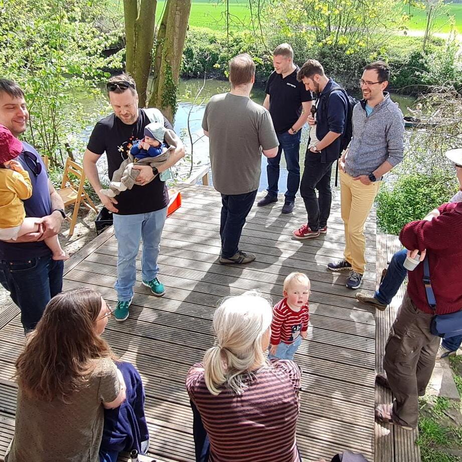
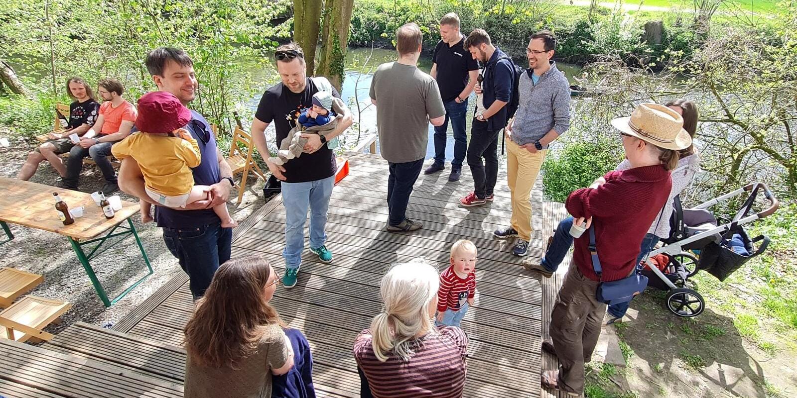
ifgi family & friends Sommerfest 2023 im Wersehaus
Projekt aus der Geoinformatik für offene Daten und Innovation gewürdigt
Stifterverband vergibt „Open Data Impact Award“ 2022 / Erster Preis geht an das Projekt „OpenSenseMap“
Zum dritten Mal hat der Stifterverband einen Preis an Projekte verliehen, die das Potenzial von offenen Forschungsdaten („open data“) für Innovationen und Gesellschaft stärken. Der erste Preis, dotiert mit 15.000 Euro, geht an das Projekt „OpenSenseMap“ unter der Leitung von Prof. Dr. Angela Schwering vom Institut für Geoinformatik der Westfälischen Wilhelms-Universität (WWU) Münster. Gemeinsam mit ihren Kollegen Dr. Thomas Bartoschek, Mario Pesch und Matthias Pfeil nahm sie bei einer Feierstunde am 7. November in Berlin die Auszeichnung entgegen. „Der Preis verdeutlicht, wie wichtig es ist, neben der Erforschung eigener wissenschaftlicher Fragen die Daten der Öffentlichkeit zur Verfügung zu stellen. So ermöglicht man anderen, die Forschungsergebnisse nachzuvollziehen und – vielleicht noch wichtiger – eigene Probleme durch die Nachnutzung der Daten zu erforschen,“ erklärte Angela Schwering. Das Preisgeld hilft dem Team zukünftig, durch statistische Analysen und systematische raum-zeitliche Korrelationen die Qualität der Daten zu überprüfen und zu verbessern.
Zum Artikel
Hackathon für alle ifgi Studierende #ifgiHACK22
Nach 2 Jahren digitialer oder hybrider Lehre, wenig Austausch zwischen den Studierenden, Lehrenden und Mitarbeiter:innen, möchten wir ALLE Studierenden ALLER Studiengänge am Institut für Geoinformatik zum ersten ifgiHACK einladen! Beim ifgiHACK entwickelt ihr in Teams Ideen und Prototypen zu spannenden lokalen, globalen, aktueller Forschungsprojekte oder euer Studium betreffenden Herausforderungen. Wir haben das gesamte GEO I-Gebäude reserviert, so dass es viel Platz für eure Ideen gibt!
Die besten Ideen und Prototypen werden von einer Jury aus Professor:innen und Verteter:innen der Supporter und Spin-Offs ausgezeichnet!
Weitere Informationen: Hier
EU fördert Masterprogramm mit 3,9 Millionen Euro
WWU setzt sich in Wettbewerb durch / Gemeinsamer Studiengang mit spanischer und portugiesischer Universität
Seit 15 Jahre koordiniert das Institut für Geoinformatik der Westfälischen Wilhelms-Universität (WWU) Münster das internationale Masterprogramm „Geospatial Technologies“. Nun bestätigte die EU-Kommission eine Fortsetzung des Studiengangs: In einem hochkompetitiven Wettbewerb von circa 80 Neu- und Folgeanträgen wählten Gutachter das münstersche Vorhaben aus. Die EU wird die 84 Stipendiatinnen und Stipendiaten in den kommenden fünfeinhalb Jahren mit rund 3,9 Millionen Euro unterstützen.
Das Institut für Geoinformatik bietet den Studiengang gemeinsam mit der Universidade Nova de Lisboa (Portugal) und der Universitat Jaume I in Castellón (Spanien) an. Die münsterschen Wissenschaftler gehören damit zu den wenigen Koordinatoren in Deutschland, die im Kontext des europäischen Exzellenzprogramms „Erasmus Mundus“ einen herausragenden internationalen Masterstudiengang koordinieren. Das Programm der Europäischen Union zielt darauf ab, die Qualität der Hochschulbildung durch Stipendien und akademische Zusammenarbeit zwischen der EU und anderen Weltregionen zu verbessern.
Mehr als 250 Studierende aus über 50 Nationen – etwa Äthiopien, Brasilien, USA, China, Kolumbien, Ost-Timor, Jamaika – haben bereits an dem Masterprogramm teilgenommen. „Der englischsprachige Studiengang ist ein weltweit sichtbares Aushängeschild für die Internationalisierung an der WWU und beschäftigt sich mit technisch-geoinformatischen Lösungsansätzen für eine Vielfalt gesellschaftsrelevanter Themen“, betont Studiengangsleiter Prof. Dr. Christian Kray. Die Studierenden befassen sich zum Beispiel damit, die Auswirkungen von Überschwemmungen in Bangladesch vorherzusagen und zu visualisieren, um auf dieser Basis Katastrophenpläne zu erstellen. Ein anderes Thema ist die Überwachung der Abholzung des brasilianischen Regenwaldes mit Satelliten, um etwaige illegale Rodungen zu dokumentieren. Auch Apps zum Recycling nicht mehr benötigter Gegenstände und zu einer verbesserten Integration von Flüchtlingen waren schon Thema von Masterarbeiten.
Voraussetzung für die Teilnahme an dem Studium ist ein Bachelor-Abschluss in einem Anwendungsgebiet der Geoinformatik, zum Beispiel Umweltwissenschaften, Landschaftsplanung oder Agrarwissenschaften. Der Studiengang richtet sich an Universitätsabsolventen mit oder ohne Berufserfahrung, die an mindestens zwei der drei Partneruniversitäten je ein Semester studieren. Ansprechpartner am Institut für Geoinformatik sind Dr. Christoph Brox (broxc@uni-muenster.de) und Prof. Dr. Christian Kray (c.kray@uni-muenster.de)
Internationaler Masterstudiengang "Geospatial Technologies"
Student of the year
We are very proud to announce that one of our doctoral students, René Unrau, has been elected as 2019 Esri Development Center International Student of the Year!
René has clearly earned this honor with his PhD project in which he proposes and evaluates a holistic and scalable approach to assess the usability of Web GIS, mainly using the ArcGIS API for JavaScript. In his toolkit, four types of interactive visualizations are shown to facilitate deep insights into the usability of Web GIS. Please see the Esri website for further information.
Congratulations, René!
Five new PhDs in three days: congratulations to Ana, Champika, Guiying, Mehrnaz and Shivam!
On Thursday, Friday and Monday, five candidates from ifgi successfully defended their theses and became the most recent PhD graduates at ifgi. Ana Maria Bustamante defended her work on “Participation & (Re)Settlement: Envisioning Mobile Services with Young Forced Migrants”. Champika Ranasinghe did the same for her topic “Adapting Navigation Support to Positional Information of Varying Quality”. Guiying Du’s defence centred on her topic of “Supporting Public Participation through Interactive Immersive Public Displays”. Mehrnaz Ataei publicly defended her thesis on “Location Data Privacy: Principles to Practice” and Shivam Gupta did the same for his thesis on “Spatial Modelling of Air Pollution for Open Smart Cities”. Ana, Guiying, Mehrnaz and Shivam were the first four out of thirteen early stage researchers on the ITN GEO-C to defend their thesis - the remaining nine candidates will defend their work in the coming two weeks.
Congratulations to the five new PhDs!

PROMOS: Mobilitätsprogramm des DAAD

EDC Forum 2017 - “Big Data Analytics & GIS“ in Münster, September 21-22

Call for Applications: PhD scholarship 'Improving movement simulation of large masses of people'
openSea Hackday 2017

Zeig mir das mal
EU-Projekt zur Erforschung von Kommunikation durch Zeige-Gesten gestartet / Münstersche Geoinformatiker beteiligt
Wenn ein kleines Kind auf ein Spielzeug zeigt, kommt die Botschaft "gib mir das" ohne Worte bei Erwachsenen an. Und auch wer sprechen kann, übermittelt viele Informationen wortlos durch Zeige-Gesten. Im Zusammenhang mit technischen Anwendungen gewinnt diese Form der Kommunikation zunehmend an Bedeutung.
Radio Q Studiengangcheck Geoinformatik
Das Universitätsradio Radio Q hat einen Studiengangcheck zum Thema Geoinformatik online zur Verfügung gestellt, den man sich hier anhören kann.
Darin wird erklärt, was den Studiengang Geoinformatik so ausmacht und was er in unserer Alltagswelt ermöglicht.

Belegungszeitraum in HISLSF
Stellenausschreibung - Studentischen Hilfskraft (m/w)
Am Institut für Geoinformatik (ifgi) der Westfälischen Wilhelms-Universität Münster ist zum
nächstmöglichen Zeitpunkt die Stelle einer Studentischen Hilfskraft (m/w) zu besetzen.
Die Tätigkeit sieht eine Unterstützung der Aktivitäten und die Mitarbeit im Webteam des Instituts für Geoinformatik vor.
Das ifgi beteiligt sich an der Einführung einer neuen Technologie zur Sicherung von Bodenrechten in Ostafrika
Länder in Subsahara-Afrika wie Ruanda, Kenia und Äthiopien stehen vor der großen Herausforderung, innerhalb kurzer Zeit Millionen bislang nicht anerkannter Bodenrechte zu kartieren, ohne hohe Kosten zu verursachen. Um dieser Herausforderung zu begegnen, wird das Institut für Geoinformatik (ifgi) der Westfälischen Wilhelms-Universität Münster in den kommenden vier Jahren in Zusammenarbeit mit Partnern aus Ostafrika und Europa eine Reihe innovativer Werkzeuge zur Erfassung von Grundbesitz entwickeln.
Wissenschaft im Dialog und die Wilhelms-Universität Münster laden ein
Bürgerbeteiligung per Mausklick!?
Wissenschaftliches Nachtcafé zur Zukunftsstadt Münster
Welche Rolle spielt Bürgerbeteiligung in Münster? Welche Erwartungen haben die Bewohner an eine bürgernahe Stadt? Wie wichtig sind Informations- und Kommunikationstechnologien für die Teilhabe an städtischen Entscheidungen? Wie können Transparenz und Datenschutz gewahrt bleiben?
Stellenausschreibung wissenschaftliche/r Mitarbeiter/in
Am Institut für Geoinformatik (ifgi) der Westfälischen Wilhelmsuniversität Münster ist zum nächstmöglichen Zeitpunkt eine Stelle als
wissenschaftliche Mitarbeiterin
wissenschaftlicher Mitarbeiter
Entgeltgruppe TV-L 13
im Rahmen des DFG-geförderten Projektes “Opening Reproducible Research (ORR)” zu besetzen.
Graduate School for Geoinformatics - Call for Applications


Location privacy seminar - final presentations and demos
On Tuesday, the three groups of students participating in the course on location privacy will present the results of their work.Students from the university of Minnesota at Minneapolis and from ifgi jointly developed three app concepts to improve the management of location privacy.
There will be short presentations by each group followed by discussions, demonstrations of the apps and hands-on experiences with the app. The event is open to anyone and starts at 14:00 st in room 309.
Stellenausschreibung - Postdoctoral Research Associate
The Institute for Geoinformatics (ifgi) at the University of Muenster, Germany is offering a full-time position at post-graduate level as Postdoctoral Research Associate (fixed term), (TV-L E13) to be filled from 1st March 2015 or at the earliest possible time until 31st December 2018.
MSc Geoinformatics Meeting, October 13th
There will be a MSc Geoinformatics students meeting on Monday, October 13, at 12:00 in room 255, where students can ask questions and discuss issues with Edzer Pebesma and Christoph Stasch.
Vorbesprechung Geosoftware II
Am Donnerstag, 17. Juli, findet ab 16:15 Uhr die Vorbesprechung des Geosoftware II-Kurses (Wintersemester 2014/15) im StudLab 125 statt.
MSc Geoinformatics Meeting, July 17th
There will be a MSc Geoinformatics students meeting on Thursday, July 17th, at 11 am in room 255, where students can ask questions and discuss issues with Edzer Pebesma and Christoph Stasch.
Seminar Location Privacy (with optional excursion to Minneapolis)
This seminar/project will focus on location privacy and related issues that arise from using mobile or situated technology as well as location-based services in general. Technological, societal and legal aspects will be discussed to design and/or implement an application that enables its users to take control of location privacy. The seminar "Location Privacy" is aimed at Master and PhD students in Geoinformatics, there is a possibility for an exkursion to Minneapolis (US).
Anmeldung zu Kursen des Wintersemesters 2014/2015
Ankündigung Studienprojekt "Public Display Systeme" Sommersemester 2014
In diesem Studienprojekt werden mit Hilfe moderner Verfahren des Software Engineerings interaktive Systeme für öffentliche Bildschirme (Public Display Systems) realisiert. Dabei sind verschiedene Anwendungsszenarien wählbar, z.B. dynamische Beschilderung, Touristeninformation, Unterstützung von Bürgerinitativen, etc. Die Gruppen von 4 bis 7 Teilnehmern werden das Immersive Video Environment (IVE) des sitcom labs als Basis nutzen. Dabei soll eine agile Softwareentwicklung (SCRUM) angewandt werden.


Anmeldezeitraum für Veranstaltungen des Sommersemesters 2014


Die Sprechstunde von Prof. Kray am 11. Dezember 2013 fällt aus

Neue Webpräsenz des Instituts für Geoinformatik


B.Sc. GI: Wechsel auf neue PO

Nachschreibeklausur Geostatistik und Modelling Spatio-temporal Processes


Jobhub IT
Dienstag, 03. Dezember 2024 - 15:00, Foyer des Schlosses, Schlossplatz 2, 48149 Münster
Am 03. Dezember findet der Jobhub IT - die IT-Karrieremesse der Universität Münster - statt. Alle Studierenden aus IT-bezogenen Studiengängen, unabhängig von ihrer bisher absolvierten Semesterzahl, sind herzlich eingeladen, sich über mögliche Praktika, Abschlussarbeiten in Zusammenarbeit mit Firmen, Stellen als Werkstudent:innen oder über Positionen für einen Karriereeinstieg zu informieren.
Folgende Unternehmen nehmen an der Karrieremesse teil: AGRAVIS Raiffeisen AG, Ärzteversorgung Westfalen-Lippe, best practice consulting AG, con terra GmbH, DMI GmbH & Co. KG, Finanz Informatik GmbH & Co. KG, GWS mbH, items GmbH & Co. KG, LVM Versicherung, mindsquare AG, MGRP GmbH, OVSoftware GmbH, pco GmbH & Co. KG, Provinzial Nord West, Sopra Steria Custom Software Solutions GmbH, viadee Unternehmensberatung AG.
Eine Anmeldung ist nicht erforderlich.
Der Jobhub IT wird vom Institut für Angewandte Informatik unter Leitung von Prof. Dr. Benjamin Risse organisiert.
FOSSGIS 2025 hier bei uns in Münster!
Wir freuen uns, die FOSSGIS Konferenz 2025 an der Universität Münster ankündigen zu dürfen! Vom 26.03. bis 29.03.2025 sind alle Interessierten herzlich eingeladen, sich mit der Welt der Freien und Open Source GIS-Software sowie offenen Geodaten auseinanderzusetzen. Die Konferenz bietet eine ideale Plattform für den Austausch von Wissen und Erfahrungen zwischen Entwickler:innen, Anwender:innen und Förderern der Geo-Open-Source-Community.
Teilnehmende können sich auf ein vielseitiges Programm mit spannenden Vorträgen, praxisnahen Workshops, Anwendertreffen und interaktiven Diskussionsrunden freuen. Nutzt die Gelegenheit, von führenden Expert:innen zu lernen und sich mit gleichgesinnten zu vernetzen.
Weitere Informationen sowie die Möglichkeit zur Einreichung von Beiträgen (Call for Participation) findet Ihr unter https://fossgis-konferenz.de/2025/. Das Institut für Geoinformatik, der FOSSGIS e.V. und die OpenStreetMap-Community freuen sich darauf, Euch auf der Tagung willkommen zu heißen!