
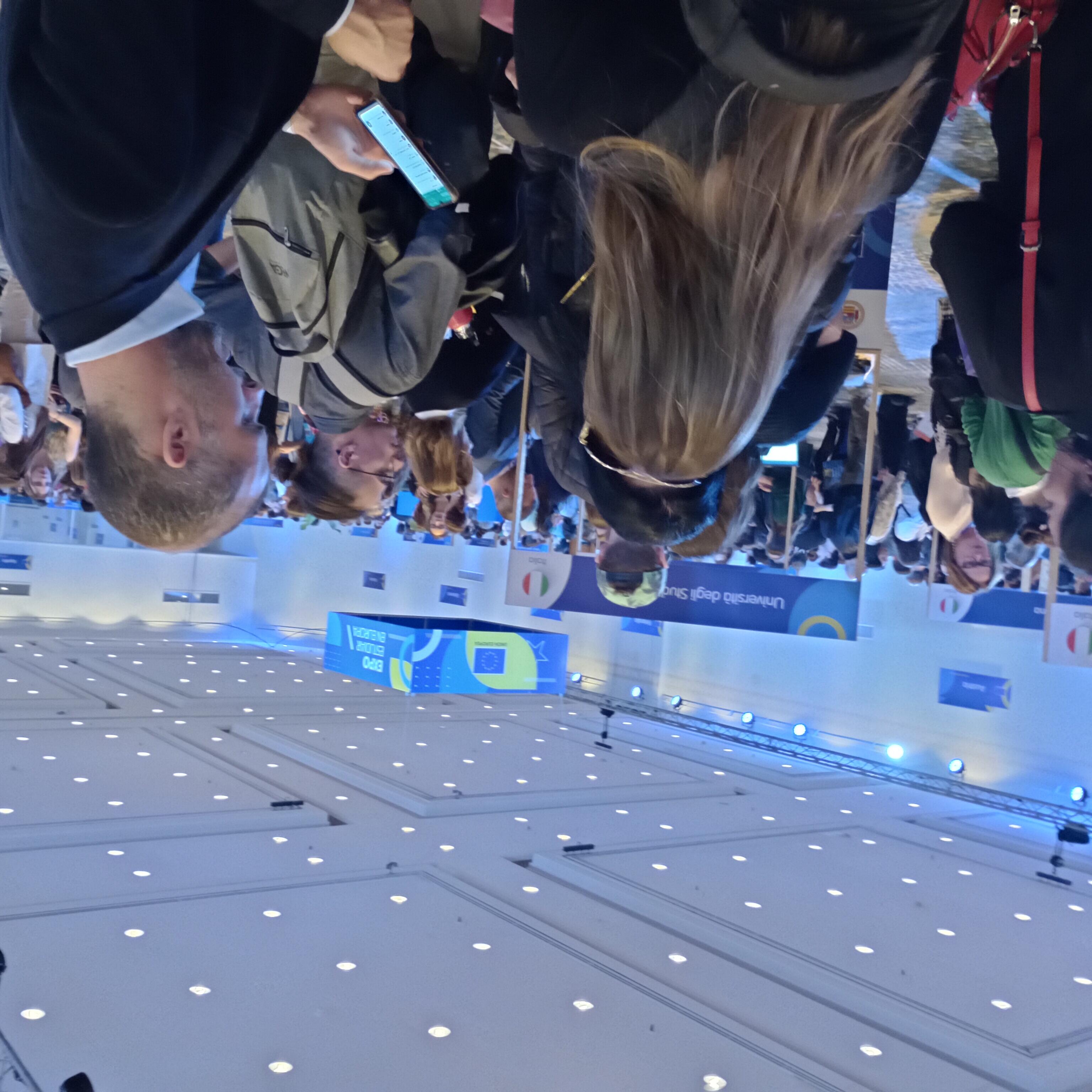
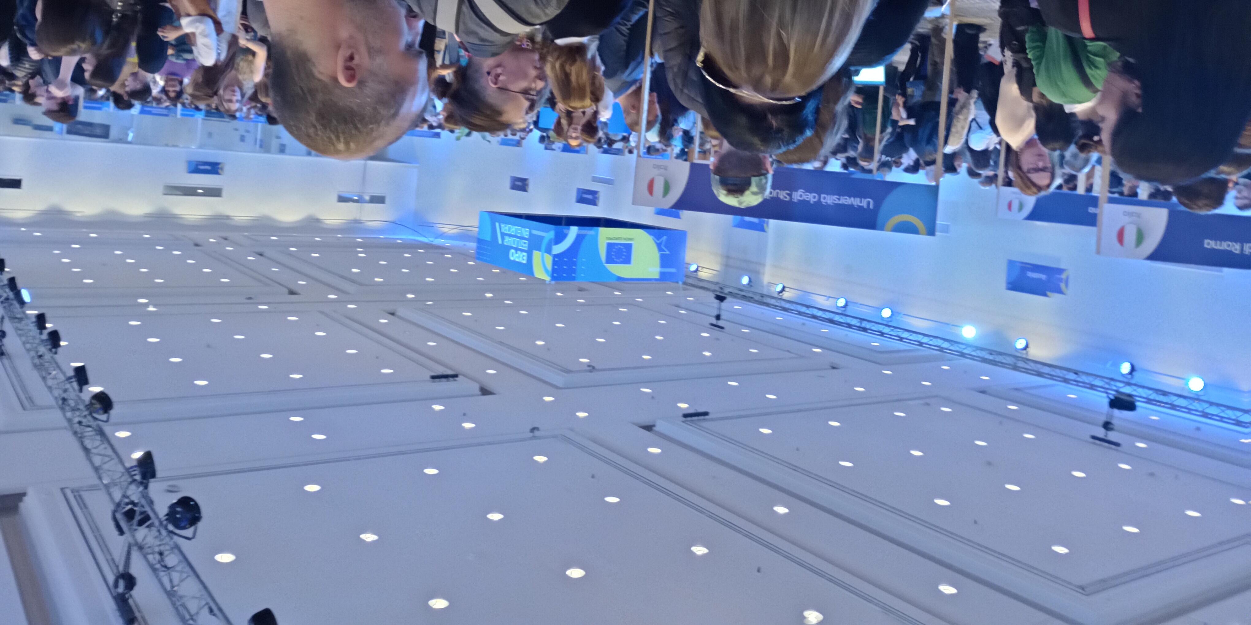
Student Fairs in Brazil and Argentina
PhD scholarship on Architectural Cognition and Computation
Despite decades of research, psychological theories on how people perceive and use space are rarely utilized in building design. Many psychological theories do not generalize beyond laboratory experiments and are incapable of making realistic predictions for practical design problems.
To bridge this gap, we are recruiting a PhD candidate to work on bringing psychological concepts into architectural software in the form of computational functions predicting, for example:
- where occupants might get lost or confused,
- whether a specific room will feel more spacious compared to another one,
- which wayfinding signs will attract more attention.
This is an interdisciplinary problem at the overlap of geoinformatics (spatial computing), spatial cognition (psychology), and architecture. An ideal candidate will have an MA or MSc degree (or be close to finishing) in one of the above disciplines and experience with one or more of the following techniques:
- Empirical user studies
- Virtual Reality
- Mobile eye-tracking
- Spatial computation (e.g., trajectory analysis)
- Space syntax / isovist theory / other formal methods for analysing building layouts
- Algorithmic generation of building layouts
The scholarship is 2000 euro / month for 36 months (with an initial contract for 14 months, subject to extension after a positive evaluation in month 12).
Muenster is a cycling-oriented, green, mid-sized city with vibrant student scene and very high quality of life. Our English-speaking Institute for Geoinformatics at the University of Münster is home to 5 research labs, highly international mix of students and employees, and state-of-the-art infrastructure. Intercontinental Dusseldorf airport is reachable with a direct train in 90 min.
If you're interested, please submit:
- your CV (without picture)
- cover letter,
- max. 2-page-long summary of your interest in this research topic
- degree certificates (Bachelor, Master, or other), including certified transcripts of grades
- proof of English language proficiency (if available)
as a single pdf to ifgi-orga@uni-muenster.de.
If applicable, please highlight concrete examples of your experience with the above-mentioned technique(s).
For questions contact Jun.-Prof. Jakub Krukar: krukar@uni-muenster.de
http://sparc.uni-muenster.de
http://krukar.staff.ifgi.de
Submission deadline is December 3rd.
Starting date is flexible but April 1st the latest.
All documents must be provided in either German or English languages, along with certified translations of all official documents. For the E-Mail submission only digital versions are required. Selected candidates will be invited for an online or in-person interview.
Job Advertisement
45,000 students and 8,000 employees in teaching, research and administration, all working together to shape perspectives for the future – that is the University of Münster (WWU). Embedded in the vibrant atmosphere of Münster with its high standard of living, the University’s diverse research profile and attractive study programmes draw students and researchers throughout Germany and from around the world.
The Institute for Geoinformatics (ifgi) in the Faculty of Geosciences at the University of Münster, Germany, is seeking to fill the position of a
Postdoctoral Research Associate
Wissenschaftliche/r Mitarbeiter/in
(salary level TV-L E 13, 100 %)
for the externally funded project “Erasmus Mundus Master in Geospatial Technologies”. We are offering a fixed-term full-time position to be filled by 1 March 2024 and continuing until 31 August 2027.
The project “Erasmus Mundus Master in Geospatial Technologies” (https://mastergeotech.info) is a joint European master’s programme run by three university partners in Portugal, Spain and Germany. WWU is coordinating the programme. The advertised position will contribute towards the implementation of this programme. The candidate will join the situated computing lab at ifgi, which conducts research in areas such as location-based services, smart cities and human-computer interaction in the context of solving spatial problems. The position also provides opportunities to further your own academic development andoffers great freedom with regard to your own research, teaching and proposal writing.
More information and the complete job discription can be found here
One scholarship for a South- or Central-American student MSc in Geoinformatics and Spatial Data Science at ifgi April 2024 – March 2026
The Institute for Geoinformatics (ifgi), University of Münster, Germany, is one of the world-wide leading institutions in geospatial information science (GI Science) research. The MSc in Geoinformatics and Spatial Data Science will enable students to further develop their problem-solving skills, to acquire analytic capabilities, and to learn about innovative and creative scientific research methods. ifgi also offers Master students the opportunity to get personally involved in cutting-edge research projects. The medium of instruction is English.
ifgi provides a four-semesters scholarship (April 1, 2024 – March 31, 2026) to one international student (nationality and residence in the 3 years before the application deadline in South- or Central-America). Applicants need to hold a Bachelor degree in Geoinformatics or a similar topic. As for course contents, requirements, and application procedures, please see https://master-geoinformatics.com.
The ifgi scholarship includes
- A monthly scholarship lump sum of 1.000 € per month (April 1, 2024 – March 31, 2026)
- Coverage of semester fees for four semesters
- Travel costs to Germany, up to 1.800 € according to actual and documented costs
- Pre-arrival and after-arrival support by ifgi
Applications are requested by November 30th, 2023
- using the same application procedure as for regular non-EU students, see https://master-geoinformatics.com/apply.
- BUT: Additionally, provide as "other document" a proof of residence of the last three years before the application deadline
- If your nationality is from America AND you provided the proof of residence, we will automatically assume that you apply for the scholarship. If you do not provide an additional document "proof of residence of the last three years", we will automatically assume that you do NOT apply for the scholarship.
Study program coordinator: Prof. Dr. Edzer Pebesma, edzer.pebesma@uni-muenster.de
Up to two PhD scholarships Graduate School for Geoinformatics Start April 1, 2024
The Institute for Geoinformatics (ifgi), University of Münster, Germany, is one of the world-leading institutions in geospatial information science (GI Science) research (http://www.uni-muenster.de/Geoinformatics/). The Graduate School for Geoinformatics at ifgi this year offers up to three full PhD scholarships for open topics linked to one of the research groups (labs Pebesma, Kray, Schwering, Risse) at ifgi (applicants should specify the research group/professor that their topic is linked to).
The ifgi PhD scholarships include
- A monthly scholarship lump sum of 2.000 € per month (three years, starting April 1, 2024)
- Coverage of the semester fees for six semesters
- Travel costs to Germany (in case of not living in Germany), up to 1.200 € according to actual and documented costs
- Pre- and post-arrival support by ifgi.
Applications are requested by December 3, 2023, via email to the ifgi secretariat, ifgi-orga@uni-muenster.de. Questions regarding the open topic can be sent to the corresponding group lead/professor.
Further information: https://www.uni-muenster.de/Geoinformatics/en/Studies/study_programs/PhD/
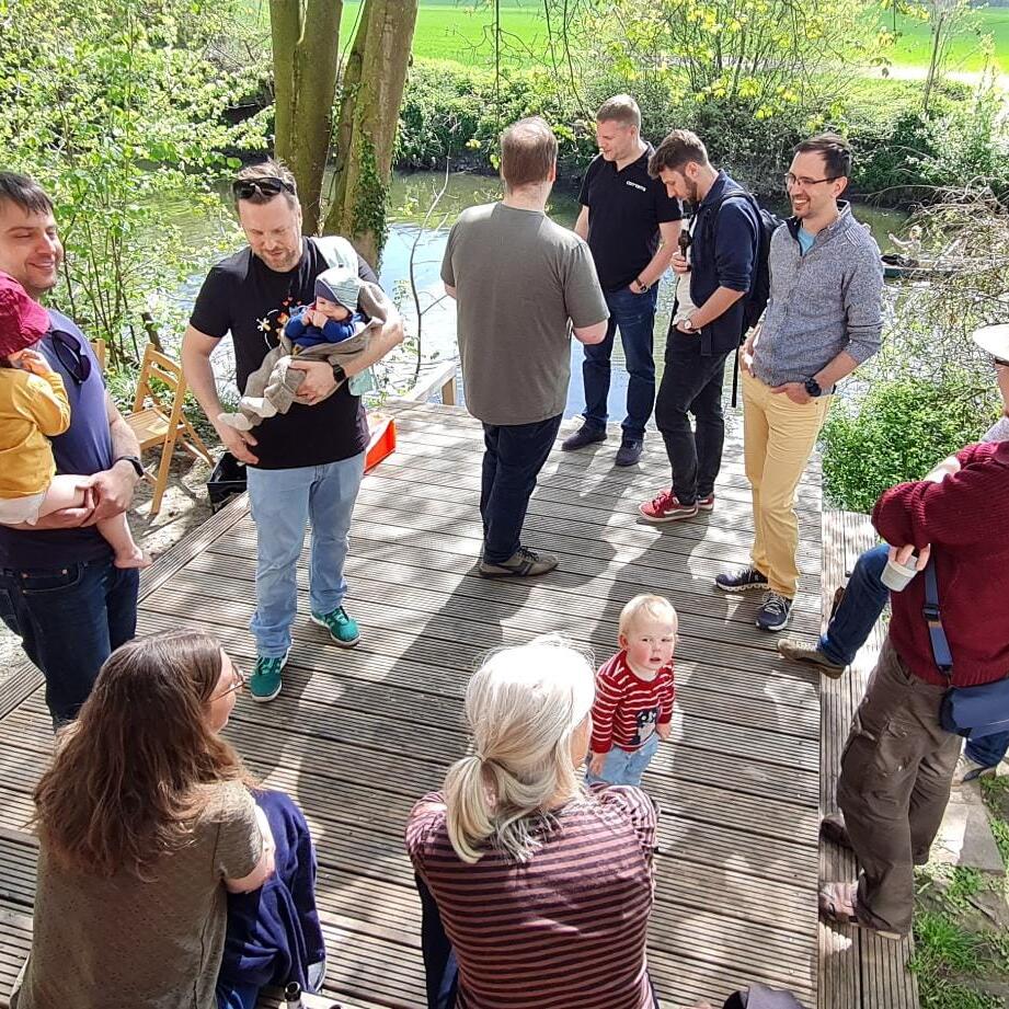
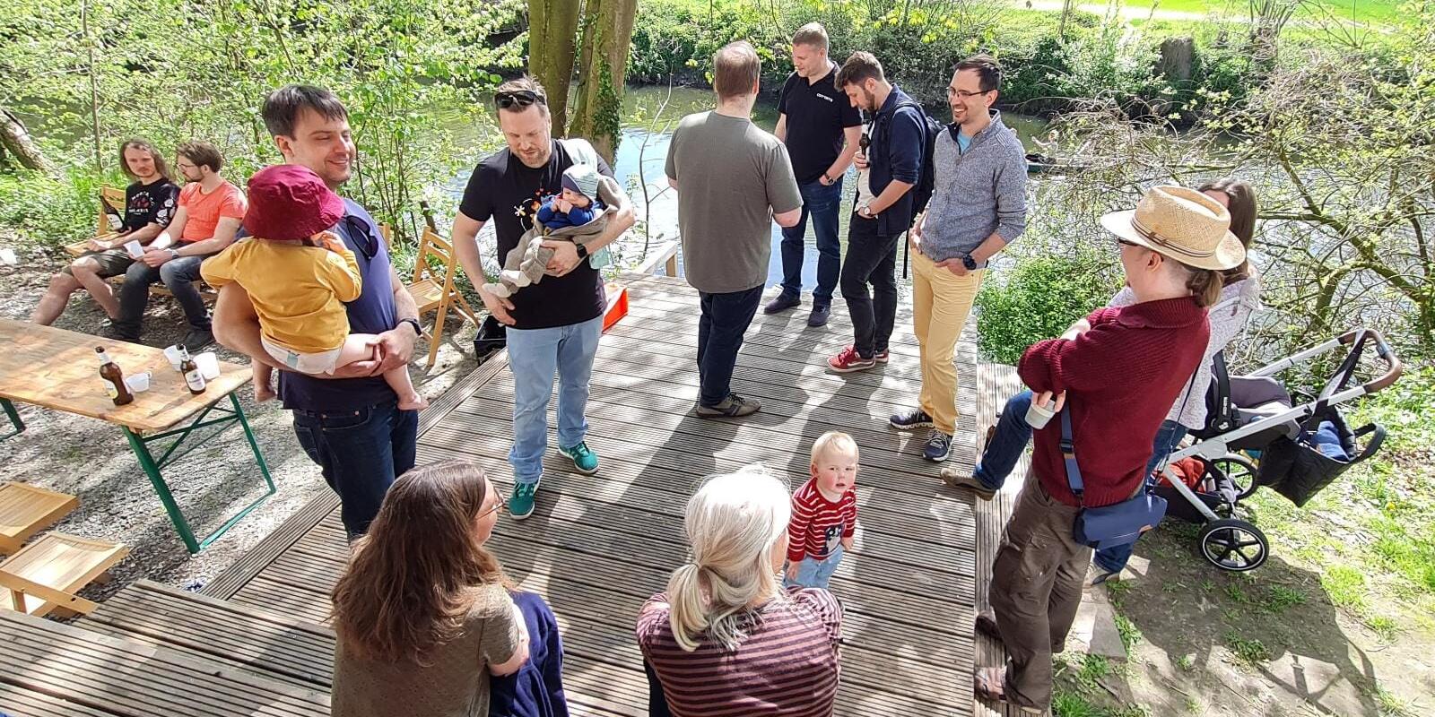
ifgi family and friends summer party 2023 at the Wersehaus
Geoinformatics project recognized for open data and innovation
Stifterverband awards "Open Data Impact Award" 2022 / First prize goes to the "OpenSenseMap" project
For the third time, the Stifterverband has awarded a prize to projects that strengthen the potential of open research data ("open data") for innovation and society. The first prize, endowed with 15,000 euros, goes to the "OpenSenseMap" project headed by Prof. Dr. Angela Schwering from the Institute of Geoinformatics at the Westphalian Wilhelms University (WWU) Münster. Together with her colleagues Dr. Thomas Bartoschek, Mario Pesch and Matthias Pfeil, she accepted the award at a ceremony in Berlin on November 7. "The award illustrates how important it is to make data available to the public in addition to researching one's own scientific questions. This enables others to follow up on the research results and, perhaps more importantly, to explore their own problems by re-using the data," explained Angela Schwering. The prize money will help the team in the future to check and improve the quality of the data through statistical analyses and systematic spatio-temporal correlations.
Hackathon for all ifgi students #ifgiHACK22
After 2 years of digital or hybrid teaching, little exchange between students, teachers and staff, we would like to invite ALL students of ALL courses at the Institute of Geoinformatics to the first ifgiHACK! At the ifgiHACK you develop ideas and prototypes in teams on current local, global challenges and challenges regarding current research projects or your studies. We reserved the whole GEO I building so there is plenty of room for your ideas!
The best ideas and prototypes will be awarded!
Further information: here
The European Union supports the Erasmus Mundus program with EUR 3.9 million
The EU commission has just confirmed the continuation of our MSc program in Geospatial Technologies as part of the Erasmus Mundus program. The European Union will therefore support 84 scholars within the next 5 ½ years with a total of EUR 3.9 million. This great achievement is not only the result of countless hours spent for preparing the extensive application, which finally succeeded over around 80 other highly competitive proposals, but also values the 15 years of experience we meanwhile have in offering this unique study program.
The MSc program in Geospatial Technologies is offered as a Joint Degree together with NOVA IMS (Portugal) and Universitat Jaume I - UJI in Castellón (Spain). The international character, however, does not only come from these three locations, but mainly from the broad range of countries the students come from. The more than 250 students who have attended the program so far came from over 50 different countries, such as Ethiopia, Brazil, USA, China, Colombia, East Timor or Jamaica.
If that sounds like an interesting experience to you, please feel free to have a closer look at the program's website: https://mastergeotech.info/
Student of the year
We are very proud to announce that one of our doctoral students, René Unrau, has been elected as 2019 Esri Development Center International Student of the Year!
René has clearly earned this honor with his PhD project in which he proposes and evaluates a holistic and scalable approach to assess the usability of Web GIS, mainly using the ArcGIS API for JavaScript. In his toolkit, four types of interactive visualizations are shown to facilitate deep insights into the usability of Web GIS. Please see the Esri website for further information.
Congratulations, René!
Five new PhDs in three days: congratulations to Ana, Champika, Guiying, Mehrnaz and Shivam!
On Thursday, Friday and Monday, five candidates from ifgi successfully defended their theses and became the most recent PhD graduates at ifgi. Ana Maria Bustamante defended her work on “Participation & (Re)Settlement: Envisioning Mobile Services with Young Forced Migrants”. Champika Ranasinghe did the same for her topic “Adapting Navigation Support to Positional Information of Varying Quality”. Guiying Du’s defence centred on her topic of “Supporting Public Participation through Interactive Immersive Public Displays”. Mehrnaz Ataei publicly defended her thesis on “Location Data Privacy: Principles to Practice” and Shivam Gupta did the same for his thesis on “Spatial Modelling of Air Pollution for Open Smart Cities”. Ana, Guiying, Mehrnaz and Shivam were the first four out of thirteen early stage researchers on the ITN GEO-C to defend their thesis - the remaining nine candidates will defend their work in the coming two weeks.
Congratulations to the five new PhDs!

EDC Forum 2017 - “Big Data Analytics & GIS“ in Münster, September 21-22

Call for Applications: PhD scholarship 'Improving movement simulation of large masses of people'
openSea Hackday 2017


Registration period in HISLSF
ifgi participates in technology innovation for land tenure security in East Africa
Sub Saharan African countries like Rwanda, Kenya and Ethiopia have an immense challenge to rapidly and cheaply map millions of unrecognized land rights in the region. Over the next four years the Institute for Geoinformatics (ifgi) at WWU will collaborate with partners from East Africa and Europe to develop an innovative suite of land tenure recording tools that responds to that challenge.
Graduate School for Geoinformatics - Call for Applications


Location privacy seminar - final presentations and demos
On Tuesday, the three groups of students participating in the course on location privacy will present the results of their work.Students from the university of Minnesota at Minneapolis and from ifgi jointly developed three app concepts to improve the management of location privacy.
There will be short presentations by each group followed by discussions, demonstrations of the apps and hands-on experiences with the app. The event is open to anyone and starts at 14:00 st in room 309.
Job offering - Postdoctoral Research Associate
The Institute for Geoinformatics (ifgi) at the University of Muenster, Germany is offering a full-time position at post-graduate level as Postdoctoral Research Associate (fixed term), (TV-L E13) to be filled from 1st March 2015 or at the earliest possible time until 31st December 2018.
Seminar: Web-based Spatio-temporal Analysis of Floating Car Data
The first session of the MSc project seminar „Web-based Spatio-temporal Analysis of Floating Car Data” will take place on Thursday, October 23rd, in room 147, ifgi, Heisenbergstr. 2, at 4pm ct.
MSc Geoinformatics Meeting, October 13th
There will be a MSc Geoinformatics students meeting on Monday, October 13, at 12:00 in room 255, where students can ask questions and discuss issues with Edzer Pebesma and Christoph Stasch.
MSc Geoinformatics Meeting, July 17th
There will be a MSc Geoinformatics students meeting on Thursday, July 17th, at 11 am in room 255, where students can ask questions and discuss issues with Edzer Pebesma and Christoph Stasch.
Seminar Location Privacy (with optional excursion to Minneapolis)
This seminar/project will focus on location privacy and related issues that arise from using mobile or situated technology as well as location-based services in general. Technological, societal and legal aspects will be discussed to design and/or implement an application that enables its users to take control of location privacy. The seminar "Location Privacy" is aimed at Master and PhD students in Geoinformatics, there is a possibility for an exkursion to Minneapolis (US).
Registration for courses of the winter term 2014/2015


Registration period for courses of summer term 2014


No office hours of Prof. Kray on December 11

New Homepage for the Institute for Geoinformatics


Prof. Dr. Dr.h.c. Gilberto Câmara joined our institute

Jobhub IT
Tuesday, December 03, 2024 - 15:00, Foyer of the castle, Schlossplatz 2, 48149 Münster
On December 03, the Jobhub IT - the IT career fair of the University of Münster - will take place. All students from IT-related degree programs, regardless of the number of semesters they have completed so far, are cordially invited to find out about possible internships, final theses in cooperation with companies, positions as working students or positions for a career start.
The following companies are taking part in the career fair: AGRAVIS Raiffeisen AG, Ärzteversorgung Westfalen-Lippe, best practice consulting AG, con terra GmbH, DMI GmbH & Co. KG, Finanz Informatik GmbH & Co. KG, GWS mbH, items GmbH & Co. KG, LVM Versicherung, mindsquare AG, MGRP GmbH, OVSoftware GmbH, pco GmbH & Co. KG, Provinzial Nord West, Sopra Steria Custom Software Solutions GmbH, viadee Unternehmensberatung AG.
Registration is not required.
The Jobhub IT is organized by the Institute for Applied Computer Science under the direction of Prof. Dr. Benjamin Risse.
FOSSGIS 2025 here with us in Münster!
We are pleased to announce the FOSSGIS Conference 2025 at the University of Münster! From March 26 to 29, 2025, all interested parties are cordially invited to explore the world of free and open source GIS software and open geodata. The conference offers an ideal platform for the exchange of knowledge and experience between developers, users and supporters of the open source geospatial community.
Participants can look forward to a varied program with exciting presentations, practical workshops, user meetings and interactive discussion rounds. Take the opportunity to learn from leading experts and network with like-minded people.
Further information and the opportunity to submit contributions (Call for Participation) can be found at https://fossgis-konferenz.de/2025/. The Institute of Geoinformatics, FOSSGIS e.V. and the OpenStreetMap community look forward to welcoming you to the conference!