Historical Atlas of the Cities and Communes of Warendorf District and the City of Münster
About the Project
Did you know that today's Warendorf district was formed from several older districts as part of the communal territory reform, and that the independent district of Münster was also dissolved at that time? Are you familiar with the administrative unit known as Amt, or do you know what a Titularstadt is?
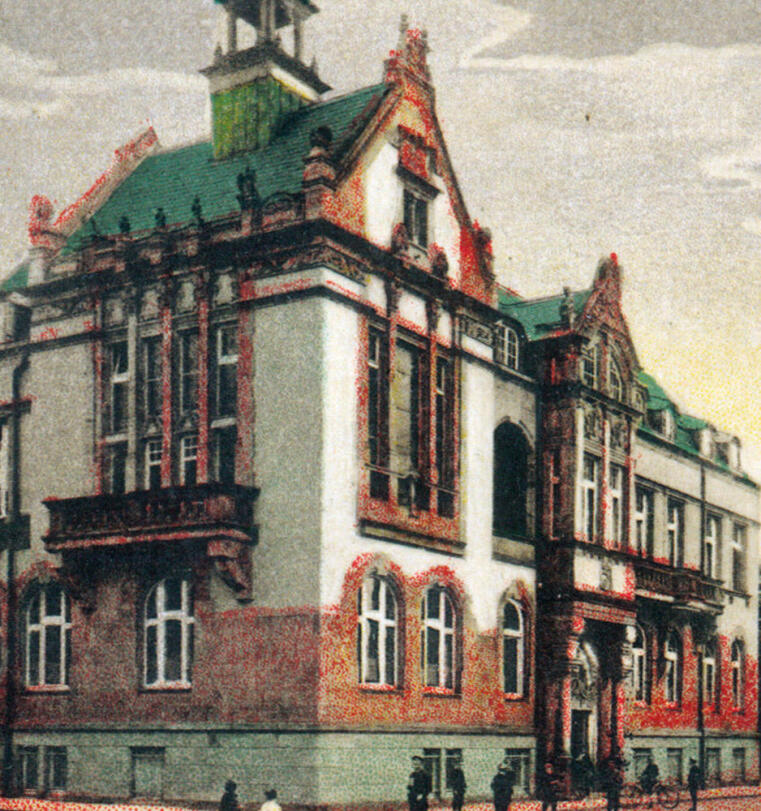
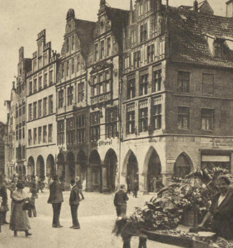
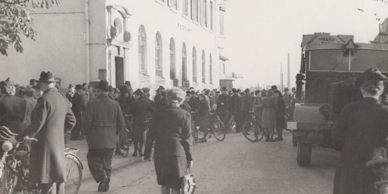
This project dealt with the history of the municipalities and cities in today's district of Warendorf and the city of Münster. It focused on the period between 1850 and 1930, a time when both urban and predominantly rural areas underwent profound structural changes. Interactive map applications were used to illustrate individual topics such as the development of the municipal structure in the district of Warendorf or the origins of the breweries in Münster.
All current towns and communes were included; the historical orientation is based on the former districts of Beckum, Münster, and Warendorf (before the communal territory reform of 1969-).
The project was dealt with in several university courses led by Prof. Dr. Werner Freitag (IStG), Dr. Knut Langewand (Head of the Warendorf District Archives), and Dr. Christof Spannhoff (IStG).
Project Duration
2020 – 2021
Project Team
Project Leader
Prof. Dr. Werner Freitag
Project Staff
Dr. Christof Spannhoff
Cartography
Oliver Rathmann
Cooperation and Funding
Funding
Funded by Sparkassenstiftung Münsterland-Ost
© ISTG