
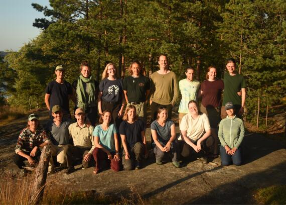
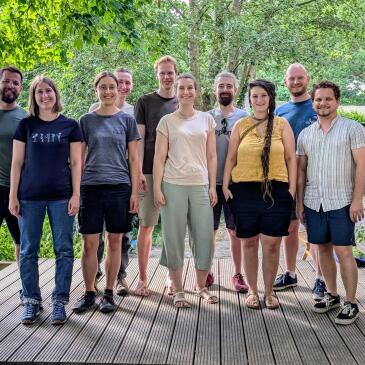
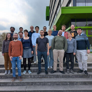
About us
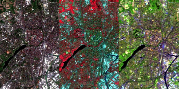
The Research Group of "Remote Sensing and Spatial Modelling" is part of the Institute of Landscape Ecology (ILOEK) [en] of the University of Münster. We study and teach the acquisition and analysis of spatio-temporal environmental dynamics in a board spectrum of landscape-ecological topics. We combine multi-scale remote sensing data with methods of spatial modelling in order to obtain continuous spatio-temporal information from limited ecological field samples.
The complexity of environmental systems requires the use of modelling strategies that take complex relationships into account. For this reason, we focus on the application of machine learning methods. In addition to their application for research questions in the context of landscape ecology, we also develop new modelling strategies for spatial and spatio-temporal data. Thus, the research group is at the interface between Geoinformatics and Landscape Ecology [en] and has the aim to contribute to an increase in knowledge in ecosystem research via drone data acquisition, satellite data processing, modelling and simulation.

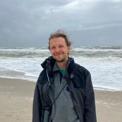

The PRISM (Preservation and RecognItion of Spatial patterns using Machine learning) project is developing new approaches to improve how spatial patterns are represented in machine learning. The project is led by Dr. Jakub Nowosad. Hosted at the University of Münster, the project addresses a key limitation of current methods: while techniques such as random forests are widely used, they often fail to capture the complex spatial patterns inherent in ecological processes. PRISM tackles this challenge by researching and developing new methods for integrating and validating spatial information within machine learning workflows. By combining insights from geography, ecology, statistics, and computer science, the project aims to produce more accurate spatial predictions for variables such as biodiversity and climate. These advances can contribute to a better understanding of ecosystems and support more reliable environmental analyses. PRISM also follows an open science approach, sharing methods, data, and software to ensure transparency and reproducibility, while fostering collaboration between researchers and institutions.
The project started in August 2024 and is funded under the Marie Skłodowska-Curie Actions programme (grant No. 101147446).
More News...
Older news can be found in the archive [en] of the Remote Sensing and Spatial Modelling Research Group.