

Civitas imperialis: Origin – Periodization – Spatial Impact
An information system on the phenomenon of imperial cities in the Middle Ages and modern times
About the Project
The project funded by the Friedrich Christian Lesser Foundation (duration: June 1, 2025 – May 31, 2026), aims to systematically record the groups of imperial cities in the Middle Ages and the Early Modern Era and to explore them historically and cartographically through an innovative digital information system.
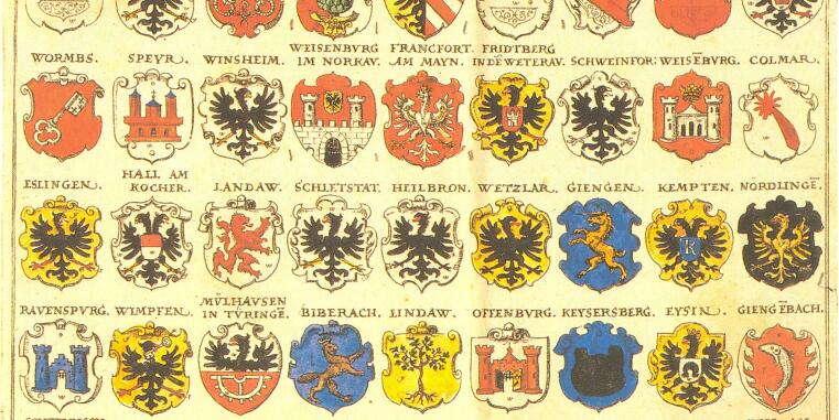
The idea for the project arose from the observation that the term “imperial city” was used inconsistently, that attributions changed over time, and that the boundaries between the group of free cities and autonomous municipalities tend to be blurred. Furthermore, relevant sources such as the imperial register and tax records are incomplete or contradictory. The complex situation and various ambiguities have contributed to the fact that a systematic, comparative overview doing justice to the diverse manifestations of the “imperial city” while locating the imperial cities on a map both in time and space does not yet exist.
The project wants to close this gap by developing an open-access internet portal with an interactive digital map offering the following key features:
- A cartographic representation of imperial cities across various historical periods
- Typological filtering based on the constitutional background of the imperial status (Reichsstandschaft)
- Contextualization through the inclusion of imperial borders, historical transportation routes, and other historical and physiographical information
- Info pages on individual cities with descriptions of their respective imperial city status, source material, and a selected bibliography
The map is supplemented by the provision of research data in accordance with the FAIR principles for reuse by other projects.
The information system has three main objectives: First, it aims to create a low-threshold, didactically well-designed offer for schools, educational institutions, and interested laypeople. Second, the data-based and interactive visualization allows new academic insights into imperial cities as complex historical phenomena. Third, the
Project Duration
2025 – 2026
Project Team
Project Leaders
Dr. Angelika Lampen
Prof. Dr. Ulrike Ludwig
Project Staff
Stefan Tönnessen
Cartography
Oliver Rathmann
Content Management
Simon Dreher