zum Inhalt
zur Hauptnavigation
zur Subnavigation
de
en
Search:
Institute
Town Atlases
Projects
IStG digital
Research Library
Events
Publications
Home
IStG digital
Interactive Cartography
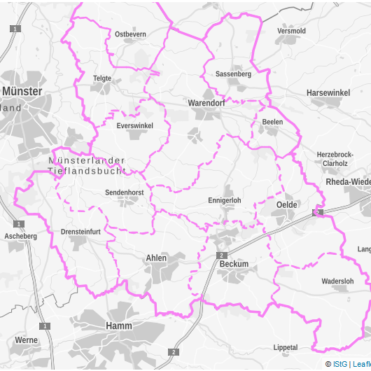
Atlas of Warendorf and Münster
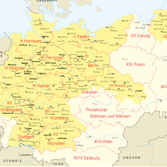
Deutscher Historischer Städteatlas
Military Supply Depots
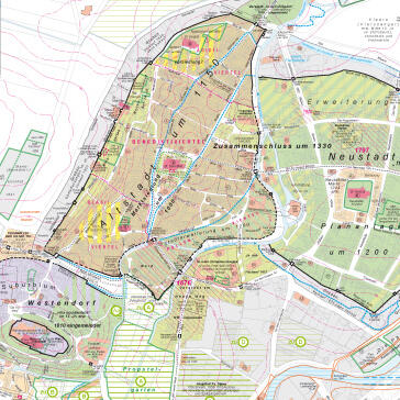
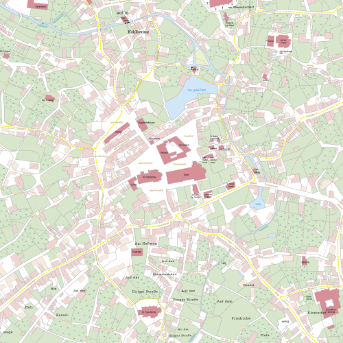
Historical Atlas of Westphalian Towns
Jewish Communities - Interactive Map
Leprosariums - Interactive Map
Orte des Rechts - Interactive Map
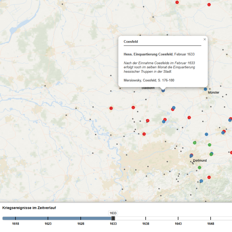
Westphalia in the Thirty Years' War
Digital Editions
Exile Letters
Portals
Civitas Imperialis
Interactive Cartography
© IStG
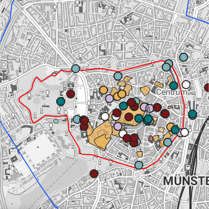
Atlas Kreis Warendorf und Stadt Münster
© IStG
Deutscher Historischer Städteatlas
© IStG
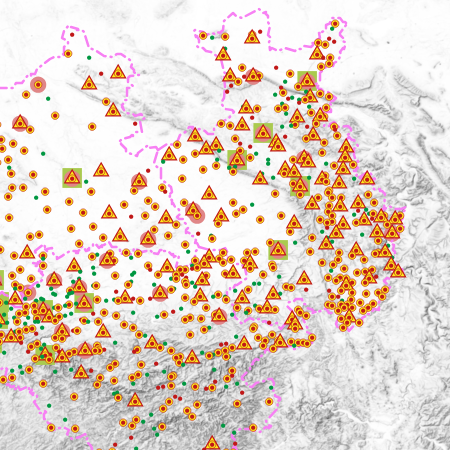
Heeresverpflegungsämter
Historischer Atlas Westfälischer Städte
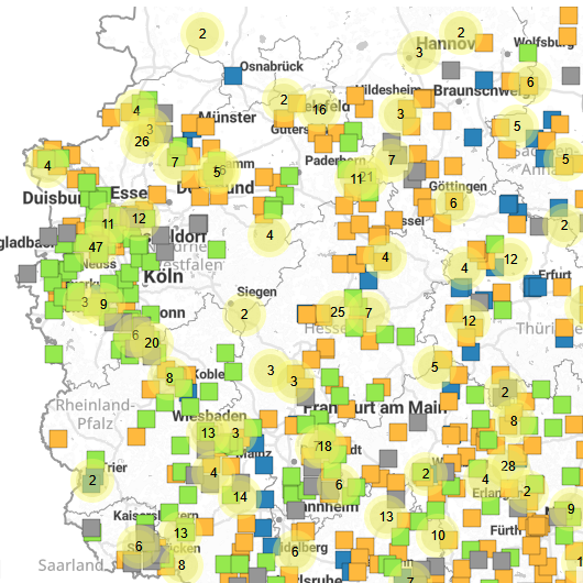
Jüdische Gemeinschaften
© IStG
Leprosorien
© IStG
Orte des Rechts
© IStG
Westphalia in the Thirty Years' War