
Continued EU Commission funding for international Geospatial Technologies masters programme
Armenia, Brazil, the USA, China, Columbia, East Timor, Jamaica … more than 400 students from over 40 countries have already taken part in the international Geospatial Technologies masters course funded by the European Commission. Exactly ten years after the first funding was approved, another piece of good news from the EU Commission has now arrived at the Institute of Geoinformatics at Münster University. In a highly competitive contest, the EU experts selected the Institute’s masters course as a recipient of further funding. In the next four and a half years 63 scholarship holders will be receiving funding to the tune of around 2.4 million euros.
The Institute of Geoinformatics offers the course jointly with the New University of Lisbon, Portugal, and Jaume I University in Castellón, Spain. The Münster scientists are among the few German coordinators in the “Erasmus Mundus” Excellence Programme. This European programme promotes outstanding international masters degree courses.
“Over the past few years the Geospatial Technologies course has made a substantial contribution to internationalization at the Institute of Geoinformatics, as well as at Münster University in general,” says Prof. Cornelia Denz, Vice-Rector for International Affairs and Junior Researchers. “For this reason I am just as delighted as the Institute that this successful project has been extended.” For German students, Denz adds, the course provides an opportunity to make contacts with fellow students from all over the world, and for teachers it is both challenging and enriching to teach students from different cultural and subject backgrounds.
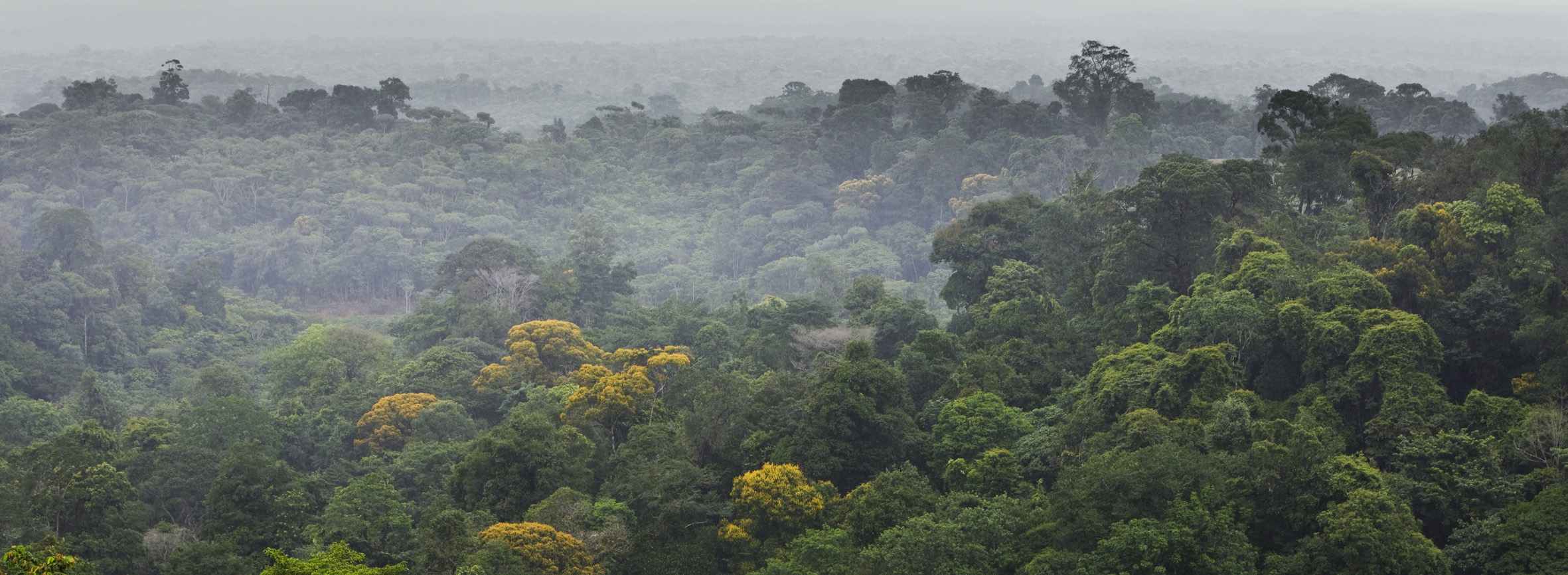
The social relevance of the masters course is reflected in the subjects of the theses which students devote themselves to. These include highly relevant global fields of application in geoinformatics such as predicting and visualizing the consequences of flooding in Bangladesh and using this as a basis for drawing up disaster relief plans. Another example is monitoring the destruction of the rainforests in Brazil by satellite in order to document and combat any illegal deforestation.
The requirement for admission to the course, conducted in English, is a bachelor degree in a geoinformatics field of application, e.g. environmental sciences, town and country planning or agricultural sciences. The course is aimed at university graduates both with and without work experience.